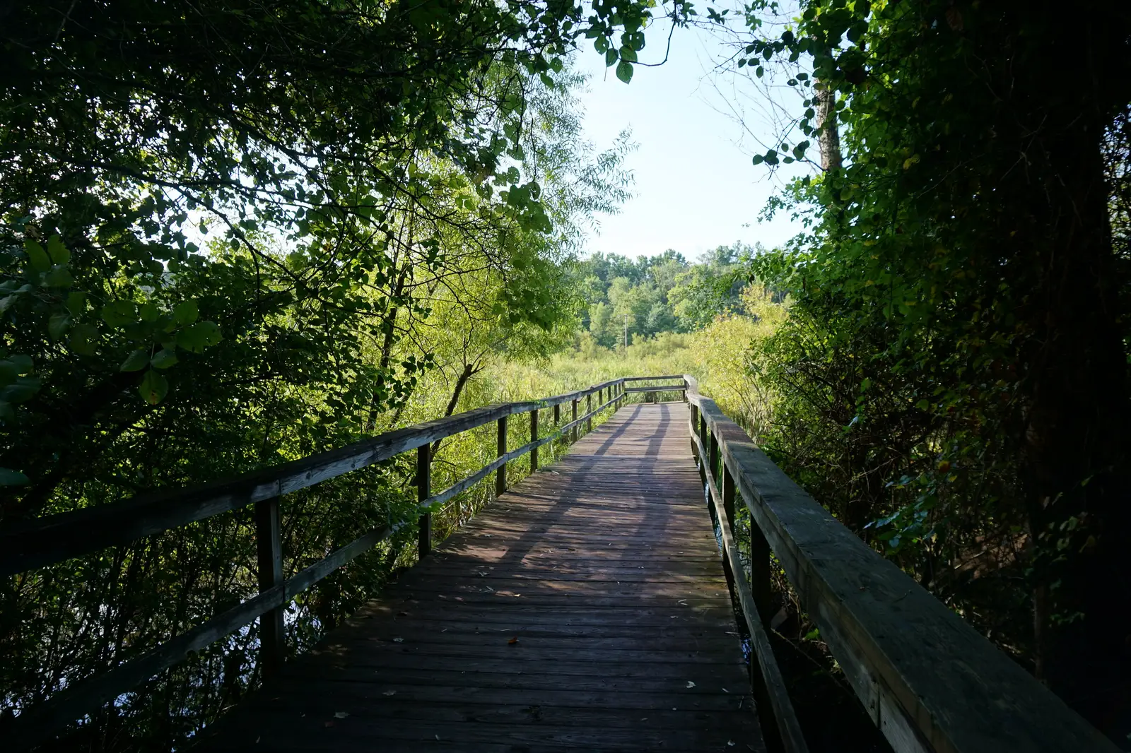
The 4.9-mile High Point Greenway, 6.2 miles of the Bicentennial Greenway and 6.6 miles of natural trail, with trailheads and parking.
Last checked Oct. 11, 2026. Distances, access points and hours come from High Point Parks and Recreation’s trails and greenways page and its greenways map (PDF). Parks and Recreation: 336-883-3469.
High Point’s two paved greenways meet at the Piedmont Environmental Center on Penny Road, so you can walk or ride from Armstrong Park to Gallimore Dairy Road in Greensboro on connected trail. Around them are 6.6 miles of dirt trail through hardwood and pine forest and along the lake, plus short loops in neighborhood parks. All trails and greenways are open from sunrise to sunset.
What this means for you
- Longest paved route: High Point Greenway (4.9 miles) plus the Bicentennial Greenway (6.2 miles in High Point).
- Best place to start: the Piedmont Environmental Center, 1220 Penny Road, where both meet, with restrooms open 9 a.m. to 5 p.m.
- New parking: the Legion lot at 1102 Penny Road has been repaved and has new restrooms.
High Point Greenway: 4.9 miles, paved
Runs from Armstrong Park to the Piedmont Environmental Center. Access points: Armstrong Park, Kirkman Park School, University Park (1800 Deep River Road), the Piedmont Environmental Center (1220 Penny Road), the Legion lot (1102 Penny Road) and the City Lake Park Trail.
| Stretch | Distance |
|---|---|
| Armstrong Park to East Lexington Avenue | 1.5 miles |
| East Lexington Avenue to I-74/U.S. 311 | 1.0 mile |
| I-74/U.S. 311 to the Deep River Road crossing | 0.3 mile |
| Deep River crossing to University Park | 0.5 mile |
| University Park to Piedmont Environmental Center | 1.2 miles |
| Piedmont Environmental Center to High Point City Lake Park | 0.4 mile |
The city opened a newly paved Legion parking lot with new restrooms, according to a city announcement.
Bicentennial Greenway: 6.2 miles in High Point
The High Point section starts at the Piedmont Environmental Center and runs north to Gallimore Dairy Road, toward Greensboro. Access points: the Piedmont Environmental Center, 4125 Piedmont Parkway, Gallimore Dairy Road in Greensboro, Jamestown Park (7041 East Fork Road, Jamestown) and Gibson Park (5207 W. Wendover Ave., Jamestown).
| Stretch | Distance |
|---|---|
| Piedmont Environmental Center to East Fork Road | 1.1 miles |
| East Fork Road to Gibson Park | 2.2 miles |
| Gibson Park to Piedmont Parkway | 1.8 miles |
| Piedmont Parkway to Gallimore Dairy Road | 1.1 miles |
Short paved trails
- City Lake Park Trail, 0.6 mile: from High Point City Lake Park (602 W. Main St., Jamestown), the Legion lot or the Piedmont Environmental Center.
- Southwest Heritage Greenway, 0.44 mile: between Vail Avenue and Grimes Avenue, with parking at Southside Recreation Center, 401 Taylor Ave. Between Taylor and Grimes avenues it passes the Botanical Woodland Teaching Garden, a helix-shaped walkway that mixes art and nature.
Natural surface trails: 6.6 miles
Reached from the Piedmont Environmental Center and from the Bicentennial Greenway at Jamestown Park and Gibson Park. The natural trails map (PDF) shows the colored markers.
| Trail | Marker | Distance |
|---|---|---|
| Bill Faver Lakeshore Trail (south preserve) | White | 1.8 miles |
| Raccoon Run Trail | Blue | 0.6 mile |
| Dogwood Trail | Orange | 0.4 mile |
| Wildflower Trail | Purple | 0.4 mile |
| Chickadee Trail | Green | 0.3 mile |
| Fiddlehead Trail | Yellow | 0.2 mile |
| Pine Thicket Trail | Red | 0.2 mile |
| Deep River Trail (north preserve) | Red and white | 2.3 miles |
| Hollis Roger Pine Woods Trail (north preserve) | Orange and green | 0.4 mile |
The center’s building and restrooms are open 9 a.m. to 5 p.m. daily; call 336-883-8531.
Loops and tracks
- West End Park, 1701 Edgewood Drive: a 1.5-mile natural surface walking trail and cross country course.
- High Point Athletic Complex track, 2920 School Park Road: a paved quarter-mile loop open to the public from 5 a.m. to 11 p.m., except when reserved for school meets.
- Allen Jay Recreation Center and Park, 1073 E. Springfield Road: half-mile loop.
- Burnett Park, 1051 Montlieu Ave.: 0.3-mile loop.
- Washington Terrace Park: 0.3-mile loop.
- Urban hikes: eight sidewalk routes starting at the High Point Public Library, on the city’s library walking routes map (PDF).
Biking
The greenways are paved and open to bikes. For road routes, the city publishes the High Point region bike brochure (PDF) and its regional bike plan.
Before you go
- Dogs must be leashed on all city parks and trails; see our dog-friendly guide.
- Trails close at sunset; park hours at City Lake Park and Oak Hollow are shorter from Nov. 1.
Related: parks and trails, free things to do, kids’ activities and getting around High Point.
Frequently asked questions
How long is the High Point Greenway?
4.9 miles of paved trail from Armstrong Park to the Piedmont Environmental Center; the 0.4-mile City Lake Park Trail continues to High Point City Lake Park.
Where can I park for the Bicentennial Greenway?
At the Piedmont Environmental Center, 1220 Penny Road; 4125 Piedmont Parkway; Jamestown Park, 7041 East Fork Road; Gibson Park, 5207 W. Wendover Ave.; or Gallimore Dairy Road in Greensboro.
What are the hours for High Point greenways?
All city trails and greenways are open from sunrise to sunset.
Are there dirt hiking trails in High Point?
Yes. The city has 6.6 miles of natural surface trail through forest and along the lake, reached from the Piedmont Environmental Center and from the Bicentennial Greenway at Jamestown Park and Gibson Park.
Can I bring my dog on High Point trails?
Yes, on a leash. The city’s leash law covers parks and trails.
Have your say