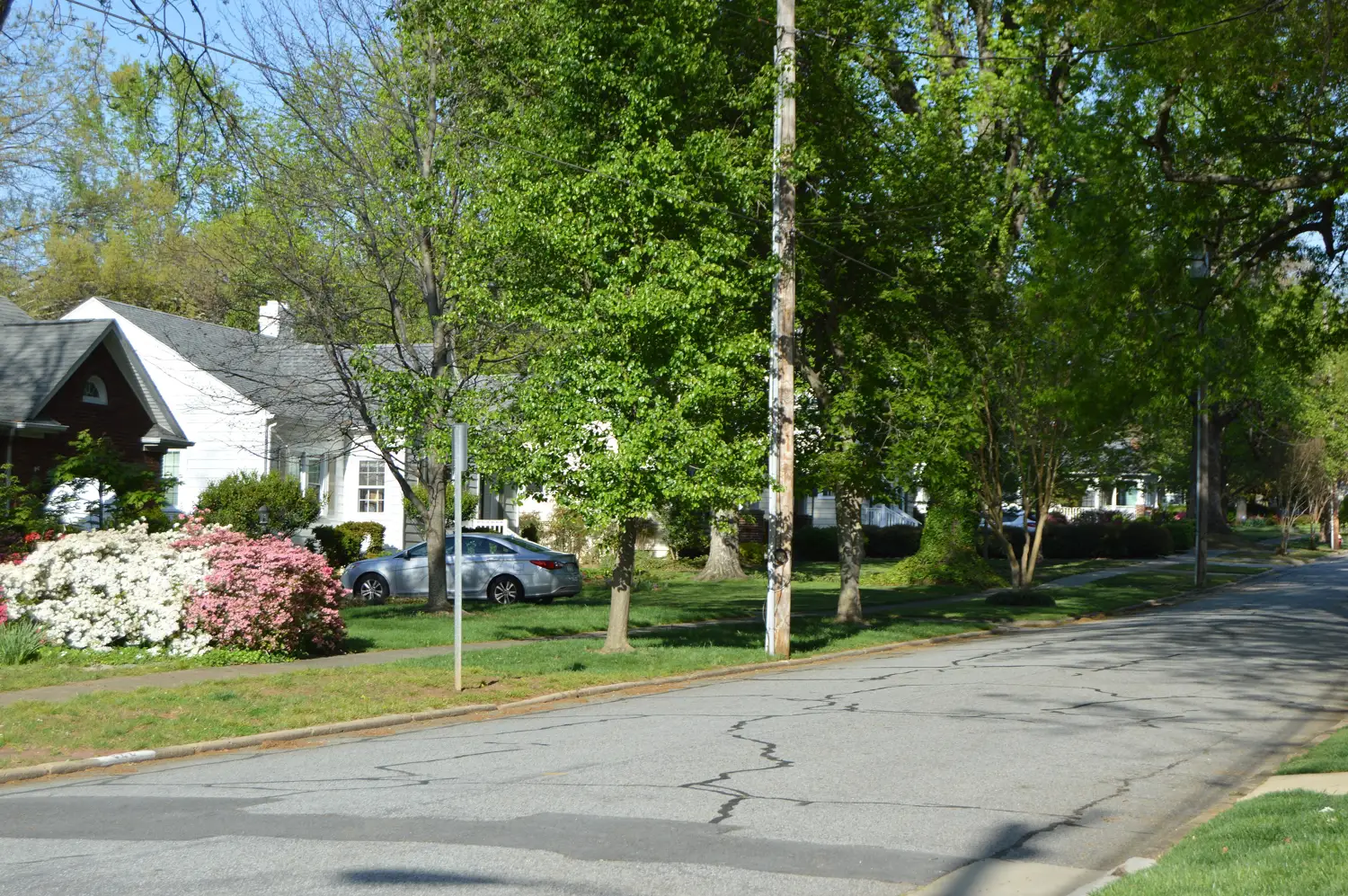
Emerywood is the older neighborhood northwest of downtown High Point, between Lexington Avenue and Chestnut Drive, in ZIP code 27262 and the Central High zone.
Last checked Oct. 11, 2026. Sources: the City of High Point’s Core City Plan (PDF) and High Point 2045 Comprehensive Plan (PDF), the city’s community parks page, Guilford County Schools’ School Assignment Locator, the N.C. Department of Public Instruction’s 2025-26 accountability data, Guilford County address points and Zillow Research.
Emerywood is the neighborhood northwest of downtown High Point that the city’s Core City Plan describes as running from Lexington Avenue south to Chestnut Drive, with its heart around Brantley Circle between Rotary Drive and North Main Street. It is one of the historic neighborhoods the plan lists inside the Core City, and the city’s High Point 2045 plan marks it on its downtown map as the Emerywood Neighborhood. Every address we checked is inside the city and in ZIP code 27262.
What this means for you
- Zoned high school: High Point Central High, 44.8% of state tests at grade level in 2025-26. Check an address with the district’s School Assignment Locator.
- Home value: $213,070 in ZIP code 27262 in August 2026, according to the Zillow Home Value Index.
- Nearest freeway exit: I-74 Exit 69 at Greensboro Road, about 3.4 miles by road.
Part of our High Point neighborhoods guide.
Where it is
This guide covers the streets between North Main Street and Rotary Drive from Lexington Avenue down toward Chestnut Drive: Rockford Road, Hillcrest Drive, Otteray Avenue, Country Club Drive, Edgedale Drive, Forest Hill Drive, Emerywood Drive, Sunset Drive and the blocks of West Parkway, West Farriss and West Ray avenues. Downtown is to the southeast and the West End is to the south, across Chestnut Drive.
On Emerywood’s eastern edge, the blocks around Lexington Avenue and North Main Street are the area the 2045 plan calls the Uptowne district, a neighborhood center “that includes several popular small businesses and eating establishments.” The plan recommends infill buildings and streetscape work there to make it easier to walk.
Schools
Emerywood is in Guilford County Schools. We placed all 1,736 Guilford County address points in the area on the district’s 2026-27 attendance-zone map, the one behind its School Assignment Locator:
- High school: all were zoned for High Point Central High.
- Middle school: 93% for Ferndale Middle; the northeast corner, near Johnson Street, for Welborn Middle.
- Elementary: 77% for Northwood Elementary, 16% for Oak View Elementary on the north side and 7% for Johnson Street Global Studies.
Scores are the share of state tests at grade level or above in 2025-26 and the state’s growth rating, from the accountability data.
| Level | School | At grade level | Growth |
|---|---|---|---|
| Elementary | Northwood Elementary, 818 W. Lexington Ave. | 40.5% | Met |
| Elementary | Oak View Elementary, 614 Oakview Road | 46.8% | Met |
| Elementary | Johnson Street Global Studies, 1601 Johnson St. | 49.4% | Not met |
| Middle | Ferndale Middle, 701 Ferndale Blvd. | 43.3% | Exceeded |
| Middle | Welborn Middle, 1710 McGuinn Drive | 32.8% | Not met |
| High | High Point Central High, 801 Ferndale Blvd. | 44.8% | Met |
Central High’s four-year graduation rate was 89.7%. More in our schools guide.
Home values
Zillow publishes no figure for Emerywood. The Zillow Home Value Index is a modeled typical value for the middle third of homes, not a sale price.
| Area | August 2026 | August 2025 | Change |
|---|---|---|---|
| ZIP code 27262 | $213,070 | $213,516 | -0.2% |
| City of High Point, for comparison | $250,100 | $249,924 | +0.1% |
ZIP code 27262 also covers the West End and much of west High Point, so its figure is not Emerywood’s alone. Trends are on our home prices page.
Parks and trails
From the city’s community parks page:
- Triangle Park, 500 Colonial Drive: playground and picnic tables.
- Council Street Park, 1013 Council St.: basketball court, ping pong and chess tables and cornhole sets.
- Parkside Park, 1415 Blain St.: playground, basketball court and picnic tables.
- Armstrong Park, 305 E. Parkway Ave., just east across North Main Street: the trailhead of the paved High Point Greenway, which runs 4.9 miles to the Piedmont Environmental Center and City Lake Park, plus a playground, ball field and pickleball courts.
More in our parks and trails guide.
Getting around
- I-74: Exit 69 at Greensboro Road is about 3.4 miles by road, and Exit 67 at Eastchester Drive (NC 68) about 3.5 miles.
- Downtown High Point: about 2.2 miles by road to City Hall.
- Piedmont Triad International Airport: about 16 miles by road.
- Buses: High Point Transit’s Route 10, North Main, stops at Elm Street and Westwood Avenue by the hospital and at Lindsay Street and Quaker Lane, according to its route schedule.
Distances were measured with the OSRM routing engine on OpenStreetMap roads from a point near Brantley Circle. They are distances, not drive times. More in our getting around guide.
Groceries and everyday stores
OpenStreetMap lists a Walgreens and a CVS Pharmacy on North Main Street near Qubein Avenue, southeast of the area, and a Publix and a second Walgreens on North Main Street north of Lexington Avenue. A Harris Teeter is on Eastchester Drive near North Main Street.
Frequently asked questions
Where is Emerywood in High Point?
Northwest of downtown. The city’s Core City Plan puts the heart of Emerywood around Brantley Circle, between Rotary Drive and North Main Street and between Lexington Avenue and Ray Avenue, and says the name covers most of the area between Lexington Avenue and Chestnut Drive.
What high school is Emerywood zoned for?
High Point Central High. Every county address point in the area fell in the Central High zone on Guilford County Schools’ 2026-27 map. Most were zoned for Northwood Elementary and Ferndale Middle.
What is the typical home value in Emerywood?
Emerywood is in ZIP code 27262, where the Zillow Home Value Index was $213,070 in August 2026, down 0.2% from August 2025. Zillow publishes no figure for the neighborhood itself.
What is Uptowne in High Point?
The shopping and dining blocks around Lexington Avenue and North Main Street, on Emerywood’s eastern edge. The city’s High Point 2045 plan names it a neighborhood center with several popular small businesses and restaurants.
Have your say