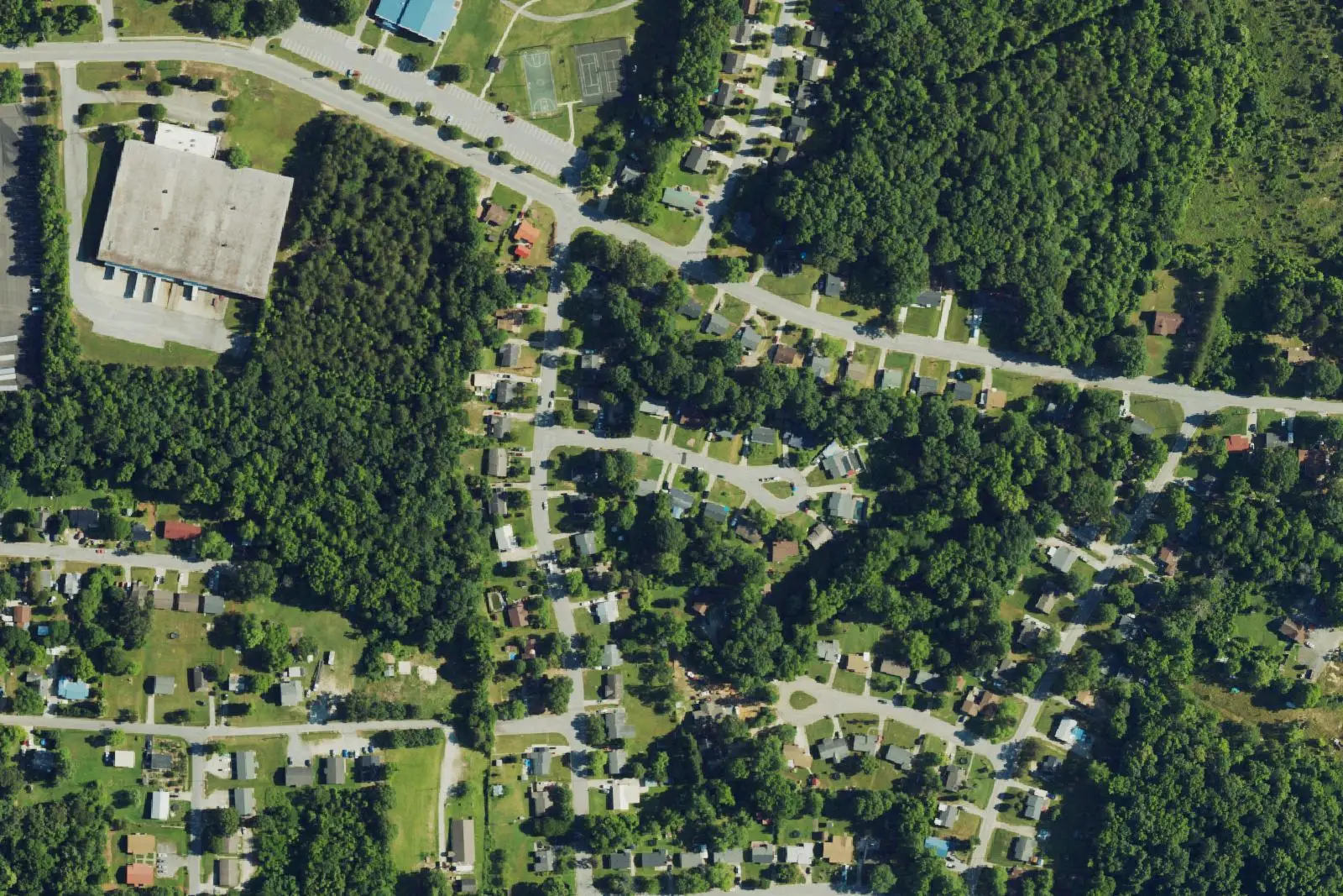
Allen Jay is south High Point around East Springfield and Fairfield roads, in ZIP code 27263, zoned for Allen Jay Elementary and the Southern Guilford schools.
Last checked Oct. 11, 2026. Sources: OpenStreetMap place names and store listings, the City of High Point’s High Point 2045 Comprehensive Plan (PDF) and Allen Jay Recreation Center page, Guilford County Schools’ School Assignment Locator, the N.C. Department of Public Instruction’s 2025-26 accountability data, Guilford County address points and Zillow Research.
Allen Jay is a place name OpenStreetMap puts in south High Point, east of South Main Street around East Springfield Road and East Fairfield Road, where the city meets Archdale. Allen Jay Elementary and the Allen Jay Recreation Center are on East Springfield Road. On the area’s west side, the city’s High Point 2045 plan names the South Main Street and Fairfield Road district one of the city’s two regional centers, anchored by the Southwood Square Shopping Center, built in the early 1980s, which the plan says draws shoppers from the south side of High Point, Archdale and Thomasville. Addresses here are in ZIP code 27263.
What this means for you
- Zoned high school: Southern Guilford High, 52.3% of state tests at grade level in 2025-26. Check an address with the district’s School Assignment Locator.
- Home value: $227,841 in ZIP code 27263 in August 2026, according to the Zillow Home Value Index.
- Nearest freeway access: Business 85 (US 29/70) at South Main Street, about 2.9 miles by road.
Part of our High Point neighborhoods guide.
Where it is
This guide covers the streets east of South Main Street from about Brentwood Street south past East Fairfield Road: East Springfield Road, Allen Jay Road, Baker and Ingram roads, Bellemeade and Thomas streets, East Swathmore, Gaines and Nance avenues and Belmont Drive. Macedonia is to the north and Archdale to the south.
High Point or Archdale? The city line runs through the area. Of 4,165 Guilford County address points we studied, 2,380 are inside High Point, 1,310 inside Archdale and 475 in unincorporated Guilford County, and almost all share ZIP code 27263. That decides your city tax and services; see our High Point vs Archdale comparison and check a parcel in Guilford County’s real estate search.
Schools
The area is in Guilford County Schools. On the district’s 2026-27 attendance-zone map, the one behind its School Assignment Locator, 99% of the city’s 2,380 address points in the area were zoned for Allen Jay Elementary, Southern Guilford Middle and Southern Guilford High. A few at the north end were zoned for Fairview Elementary, Ferndale Middle and High Point Central High.
Scores are the share of state tests at grade level or above in 2025-26 and the state’s growth rating, from the accountability data.
| Level | School | At grade level | Growth |
|---|---|---|---|
| Elementary | Allen Jay Elementary, 1311 E. Springfield Road | 44.3% | Met |
| Middle | Southern Guilford Middle, 5747 Drake Road, Greensboro | 40.5% | Not met |
| High | Southern Guilford High, 5700 Drake Road, Greensboro | 52.3% | Met |
Southern Guilford High’s four-year graduation rate was 89.9%. Allen Jay Middle, a preparatory academy at 1201 E. Fairfield Road, is in the area but is not the zoned middle school on the district’s map; 54.7% of its tests were at grade level in 2025-26. More in our schools guide.
Home values
Zillow publishes no figure for Allen Jay. The Zillow Home Value Index is a modeled typical value for the middle third of homes, not a sale price.
| Area | August 2026 | August 2025 | Change |
|---|---|---|---|
| ZIP code 27263 (filed by Zillow under Archdale) | $227,841 | $222,230 | +2.5% |
| City of High Point, for comparison | $250,100 | $249,924 | +0.1% |
ZIP code 27263 also covers Archdale and part of Randolph County, so its figure is not Allen Jay’s alone. Trends are on our home prices page.
Parks and trails
Allen Jay Recreation Center and Park, 1073 E. Springfield Road, 336-883-3509, has a gym, ball fields, lighted basketball and pickleball courts, a paved walking trail, picnic shelters and a playground. It is open 11 a.m. to 8 p.m. Monday to Thursday, 11 a.m. to 6 p.m. Friday and 9 a.m. to 2 p.m. Saturday, according to the city. More in our parks and trails guide.
Getting around
- Buses: High Point Transit’s Route 11, South Main, stops at Business 85 and South Main Street, at Spring Brook Meadows and at Baker Road and South Main Street, according to its route schedule.
- Freeways: Business 85 (US 29/70) at South Main Street is about 2.9 miles by road and at Brentwood Street about 3.1 miles. I-85 Exit 111 at South Main Street is to the south, in Archdale.
- Downtown High Point: about 4 miles by road to City Hall.
- Piedmont Triad International Airport: about 19 miles by road.
Distances were measured with the OSRM routing engine on OpenStreetMap roads from a point near East Springfield Road. They are distances, not drive times.
Groceries and everyday stores
OpenStreetMap lists a Food Lion on East Fairfield Road near South Main Street, and an ALDI and a Walmart Supercenter on South Main Street to the west. Archdale Drug is on North Main Street in Archdale.
Frequently asked questions
Where is Allen Jay in High Point?
In south High Point, east of South Main Street around East Springfield Road and East Fairfield Road, next to Archdale. OpenStreetMap marks Allen Jay as a named place there, and Allen Jay Elementary and the Allen Jay Recreation Center are on East Springfield Road.
What schools serve Allen Jay?
Allen Jay Elementary, Southern Guilford Middle and Southern Guilford High, for 99% of the city’s address points in the area on Guilford County Schools’ 2026-27 map. The Southern Guilford schools are on Drake Road in Greensboro.
Is an Allen Jay address in High Point or Archdale?
It can be either. Of the county’s address points in the area, 2,380 are inside High Point, 1,310 inside Archdale and 475 in unincorporated Guilford County. They share ZIP code 27263.
What is the typical home value in Allen Jay?
The area is in ZIP code 27263, which Zillow files under Archdale. Its Zillow Home Value Index was $227,841 in August 2026, up 2.5% from August 2025.
Have your say